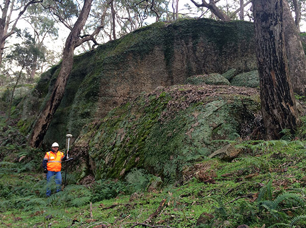
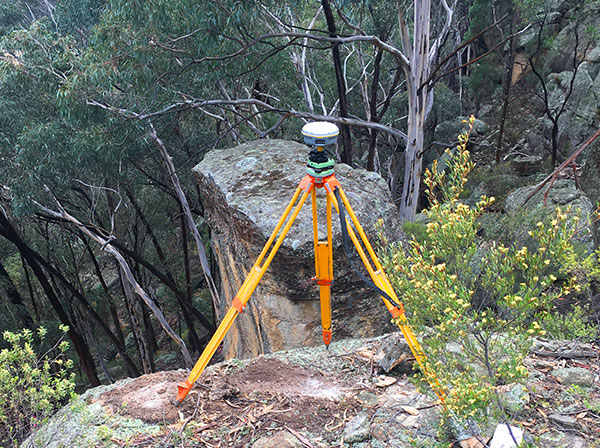
The O’Ryan’s team consists of surveyors with decades of experience of the local government areas. We couple this experience with knowledge of regulation and legislation to promptly deliver the required plans for approval and give our clients spatial advice to help them through the tricky planning and development application stage.
129 Church St, Mudgee NSW 2850 | 203A Clarinda Street, Parkes NSW 2870
Monday - Friday 08:00am-5:00pm
Office: 02 9057 4101
The services O’Ryan’s can supply to this industry include:
- Subdivisions
- Detail surveys
- Boundary definition survey
- Lot pegging
- Identification survey
- Building set-out survey
- Boundary adjustments
- Easement surveys
- Road closure plans

The O’Ryan team have an in-depth understanding of the surveying acts and survey instructions as per the survey general’s directions, which provide information about the legal survey practice in NSW. Our clients can be sure of our diligence with keeping up to date with the latest survey practice.

O’Ryan Geospatial works with Phillip Orr, a BOSSI Registered Surveyor, to ensure all legal requirements are met. Only a registered surveyor registered under the Surveying and Spatial Information Act 2002 can survey land boundaries in NSW.
More information can be found at these sites:

